- LONG RANGE
3000 KM
-
LONG RANGE
3 TO 10 TIMES GREATER
THAN CONVENTIONAL VEHICLES
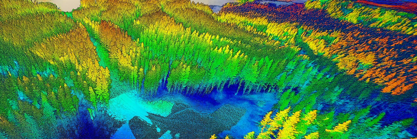
- STATE-OF-THE-ART SENSORS
+ More than 5 high-resolution
high resolution sensors
- low carbon footprint
Up to 3 to 10 times smaller
than conventional means
- OPERATING COST
UP TO 3 to 10 X LESS
THAN TRADITIONAL METHODS
- COST OF ACQUISITION
UP TO 3 to 10 X LESS
THAN CURRENT METHODS
Areas & types of application
Oil & gas
- Surveillance of pipelines, gas pipelines, leak detection
- Monitoring of oilfields and facilities (onshore and offshore)
- Assistance with setting up pipelines and oil infrastructure

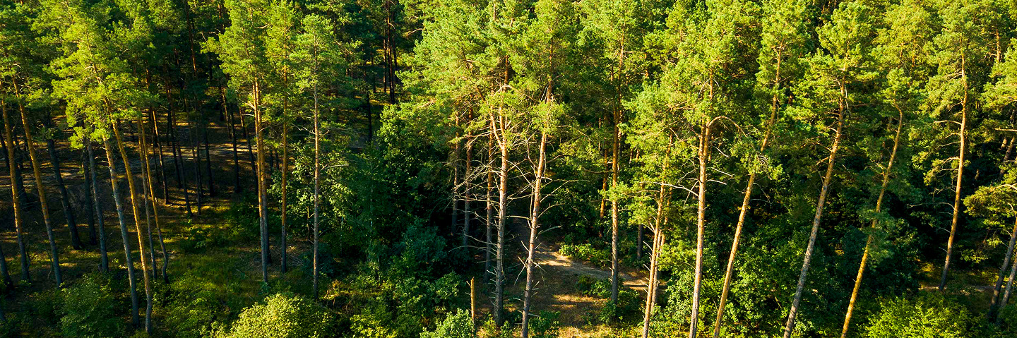
Forests
- Forest health management, tree essence mapping
- Forest fire monitoring and management
- Forest land mapping
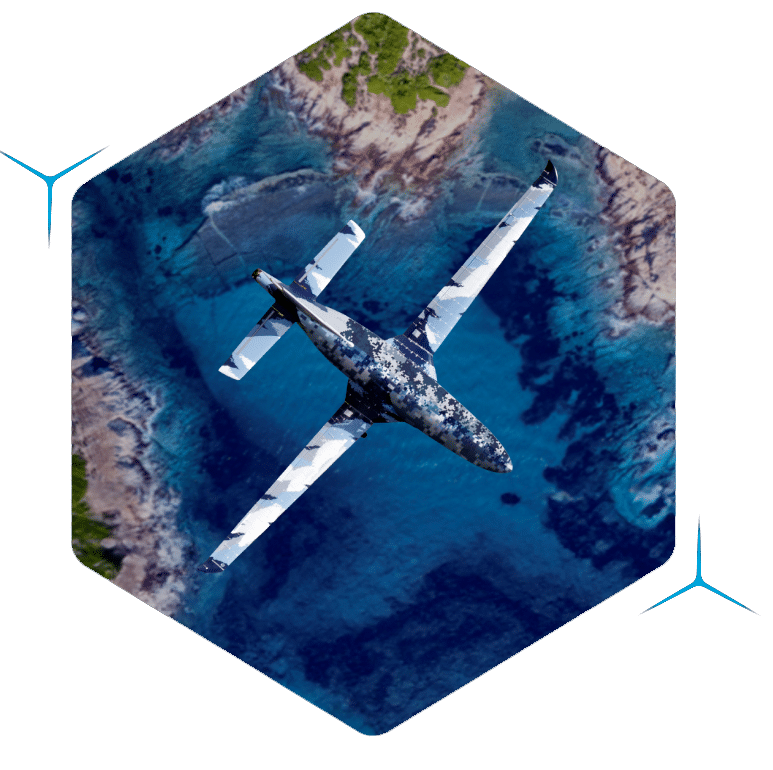
Maritime & coastal
- Detection of marine pollution, degassing on the high seas
- Surveillance of fishing zones, illegal activities, trafficking
- Mapping: coastal erosion, ocean currents

Security
- Surveillance of land and sea borders (illegal trafficking, immigration)
- Detection, identification and classification of ships
- Support for search and rescue operations

renewable energies
- Site selection
- Energy production forecasts
- Site monitoring

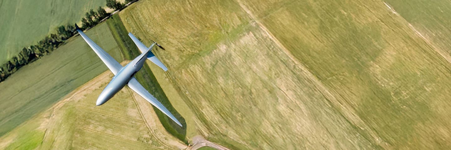
Agriculture
- Hydrometric mapping of fields, land application and yields
- Nutrient management
- Irrigation management
Natural disasters
- Risk forecasting for natural disasters
- Alert and response support
- Big data feeds for insurance

Air quality
- Monitoring urban air quality
- Mapping and monitoring pollutants
- Air quality Big Data feed
 Urban surveillance
- Cadastre and mapping
- Monitoring/mapping urban heat islands and infrastructures
- Urban heat island and land registry Big Data feeds